NSW gets real-time public transport updates in Google Maps

Google has announced that commuters in New South Wales will be able to get real-time public transport information in Google Maps, thanks to a partnership with the state government.
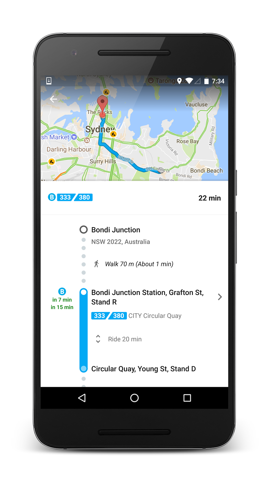
As of Thursday, those travelling by bus, train, or ferry will have access to real-time information about routes and schedules, with NSW the first state or territory in Australia to receive the service.
In a blog post, Google said working with the state government's transport authority Transport for NSW has allowed the search giant to provide information on when the next bus is arriving, whether there are delays, and how long the trip will take, as well as automatically update the times under the new conditions.
The feature is available on devices running Android or iOS, as well as via the Google Maps website. Routes that have real-time information available will be marked in Google Maps in green.
Google Maps globally provides over 1 billion kilometres of transit results every day, and has schedules for more than 3 million public transport stops around the world.
Earlier this year, it also introduced a new feature to Maps that allows users to selectively share their location with others, including their progress if they're on the way to a specific destination.
The NSW government also published data from the state's Opal contactless smartcard public transport ticketing system in April, providing a snapshot of how many people travel where and at what time.
The Opal card requires commuters to "tap on" when beginning a trip via bus, train, light rail, and ferry, and "tap off" when they reach their final destination on services operating in Sydney and many of its surrounding suburbs.
The data, collected during two one-week periods in July and August 2016, provides information on how many customers tapped on and off, as well as when they arrived at and left their destination.
In August, Transport for NSW announced that it would be utilising Opal travel data to indicate the volume of people travelling on a particular bus service, letting commuters know how full their next bus is before it arrives.
Commuters in NSW can also receive personalised messages through Twitter that inform them of disruptions on the state's suburban and intercity train lines.